Technology and digital data are playing an increasingly important role in how airports are planned, developed and managed. From regional aerodromes to major international airports, modern planning approaches now rely heavily on accurate spatial data, digital modelling and advanced analysis tools to support informed decision-making.
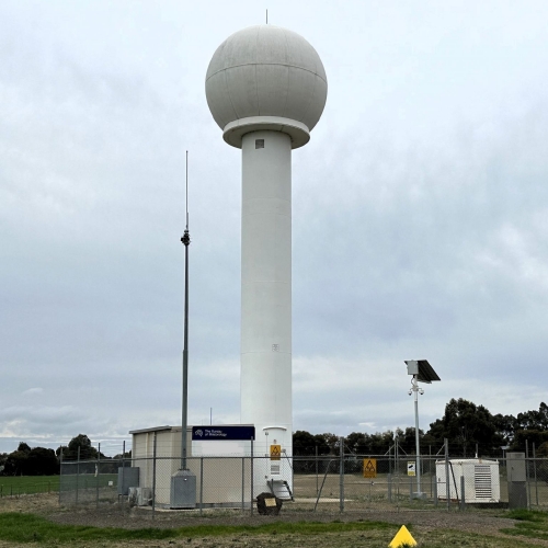
Aviation Projects uses Geographic Information Systems (GIS) technology to analyse and visualise complex spatial data, supporting airport planning, aviation safeguarding, obstacle assessments and aviation impact studies.
Tools such as GIS, drone surveys, 3D modelling and digital obstacle data management allow aviation planners to better understand operational environments, identify constraints early and improve long-term planning outcomes. These technologies can also support more efficient stakeholder engagement by providing clearer visualisation of proposed developments and operational impacts.
Data-driven planning can assist with:
- Safeguarding and obstacle assessment activities
- Airspace and flight procedure considerations
- Future infrastructure and capacity planning
- Environmental and land use assessments
- Airfield lighting and visual aid planning
- Asset management and operational risk reviews.
We combine our operational aviation expertise with modern planning tools and technology to provide practical, informed and technically robust aviation solutions for airports, developers and infrastructure projects across Australia and the Asia-Pacific region.
Tags: Aerodromes, Aviation Projects, Analysis, Technology, Data, Aviation Safeguarding, Impact Assessments